
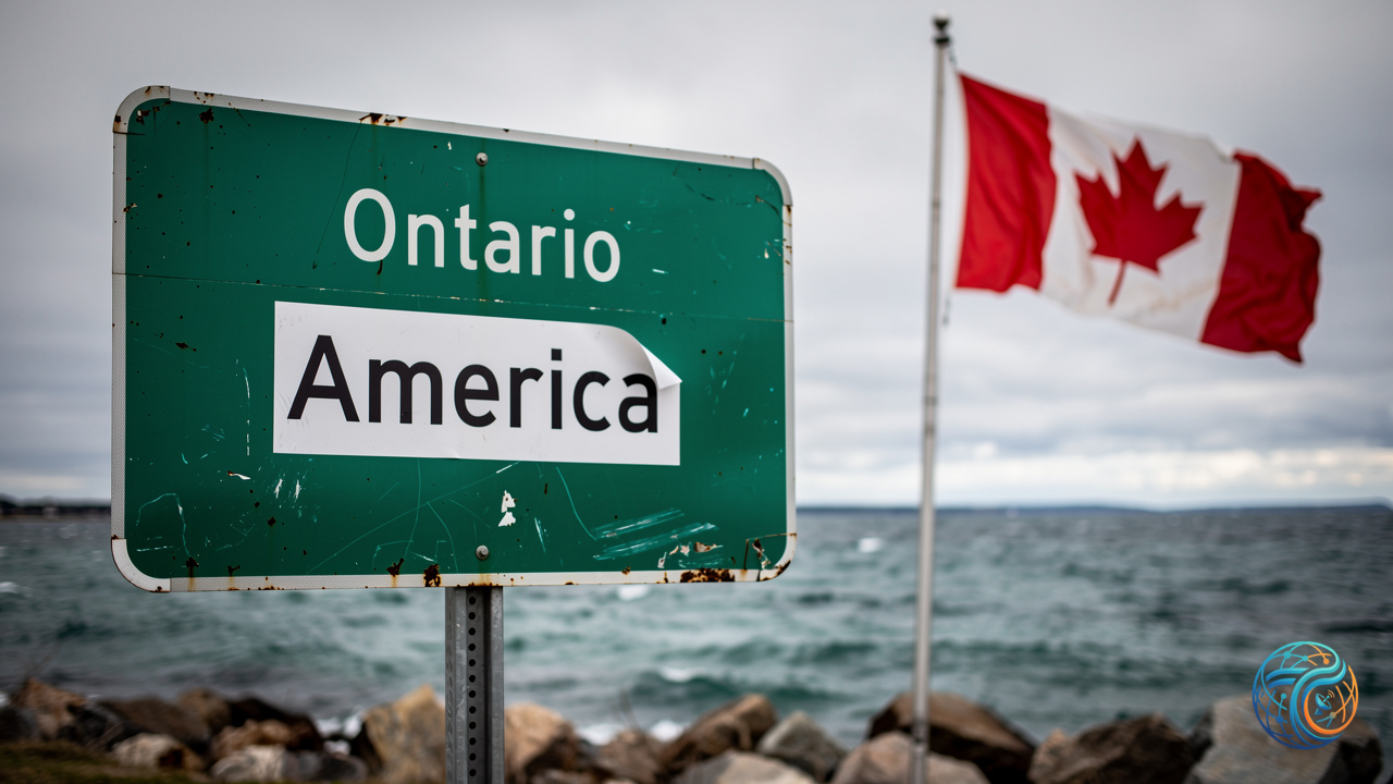
Ontario Premier Doug Ford has taken a definitive stand against geopolitical geographic modifications by unveiling a massive billboard declaring “Lake Ontario — Now and Always,” even as major technology infrastructure decisions threaten to alter digital mapping landscapes for American users. The physical demonstration comes in direct response to shifting digital boundaries, following confirmation from Silicon Valley tech giant Google that it intends to modify its mapping nomenclature to designate the shared water body as “Lake America” for audiences within the United States, complying with explicit demands made by President Trump.
Digital Borders and Geopolitical Mapping Pressures
The intersection of national sovereignty, political mandates, and commercial platform governance has increasingly thrust digital mapping corporations into the center of international disputes. As modern cartography shifts entirely from paper-based printing presses to dynamic, server-side cloud databases controlled by private enterprises, the power to name physical landmarks carries profound diplomatic weight. In this instance, the administrative push by the U.S. executive branch to rebrand the natural resource has collided directly with regional Canadian governance, forcing global technology platforms to navigate conflicting jurisdictional expectations.
Key developments in this unfolding cartographic dispute include:
- The Political Mandate: President Trump formally demanded the renaming of Lake Ontario to “Lake America,” initiating the current administrative and diplomatic friction.
- The Regional Countermeasure: Ontario Premier Doug Ford responded physically by erecting a giant billboard featuring the defiant message: “Lake Ontario — Now and Always.”
- The Corporate Compliance: Technology conglomerate Google confirmed its operational decision to implement the requested name change specifically for users accessing maps within the United States.
The Implications of Regionalized Geopolitics in Big Tech
Google’s implementation of region-specific geographic labeling highlights a broader technical reality of modern software architecture: localization and geo-fencing. Global platforms routinely adjust map boundaries, disputed territories, and localized place names depending on the geographic location of the end-user to comply with local regulatory environments or political pressures. However, applying this methodology to a major international body of water bordering both nations introduces complex precedents for cross-border digital services and international relations.
While provincial leaders like Doug Ford utilize physical infrastructure to assert historical and cultural permanence, digital platforms operate under commercial and political constraints that frequently force compliance with dominant market authorities. As the situation develops, the discrepancy between how digital maps render the feature inside the United States versus Canada underscores the growing vulnerability of digital infrastructure to sovereign political interference.
Source: Original Article