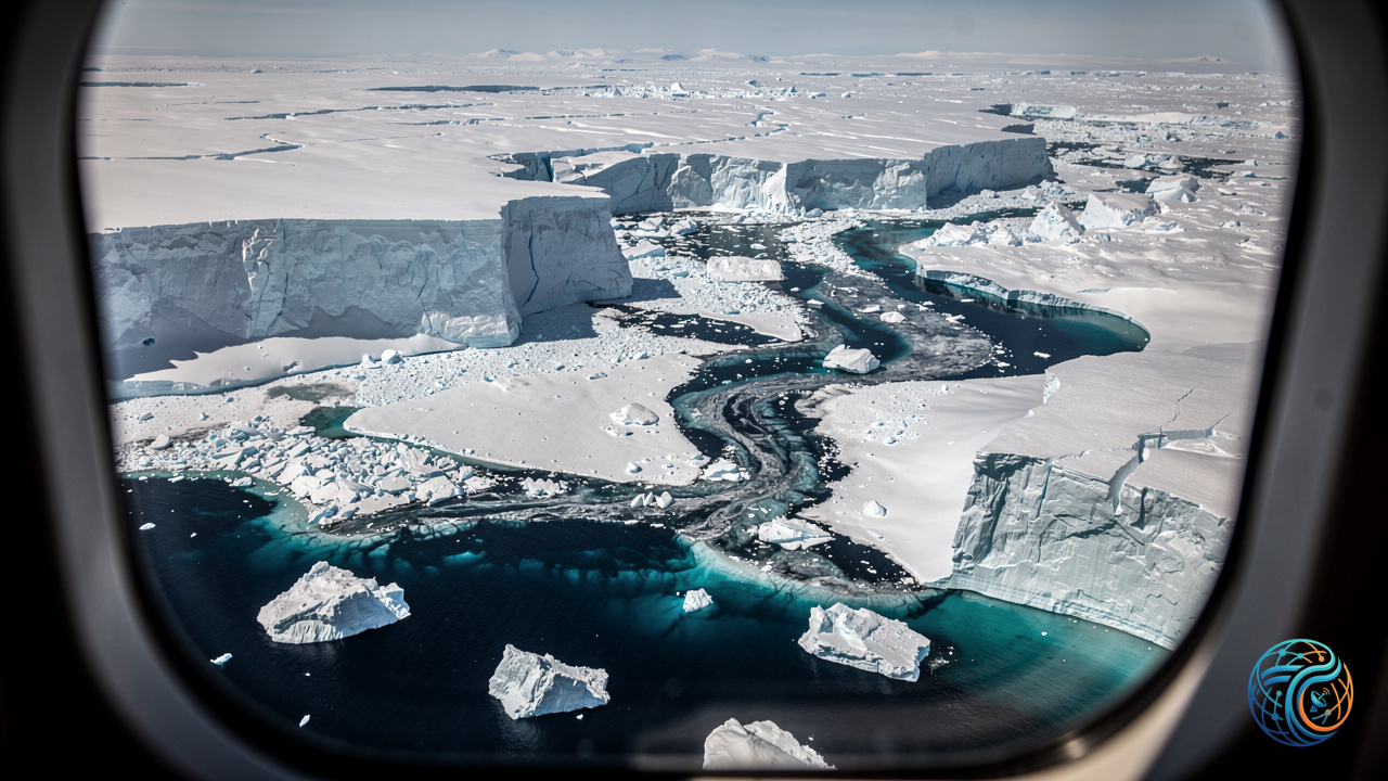
A massive fracture in northwest Greenland has highlighted the accelerating transformation of Earth’s polar regions, as advanced spaceborne radar imaging documents a substantial structural failure at one of the region’s major outlet glaciers. On August 4, 2026, Europe’s Sentinel-1 mission successfully recorded a dramatic calving event at the Petermann Glacier, where a sprawling 76 square kilometer section of the glacier’s floating ice tongue abruptly broke away from the main ice mass.
The Significance of the Petermann Glacier Fracture
This recent structural separation represents a critical milestone in Arctic observation records, standing out as the most substantial loss of floating ice experienced by the Petermann Glacier since 2012. Furthermore, satellite telemetry and earth observation analysis confirm that this occurrence ranks as the most significant individual calving event documented across the entire Arctic region since 2020. The sheer scale of the resulting iceberg underscores the continuous vulnerability and rapid pacing of environmental shifts currently reshaping northern latitudes.
Key Metrics of the Arctic Calving Event
- Observation Date: August 4, 2026
- Ice Loss Area: 76 square kilometers
- Affected Location: Petermann Glacier floating ice tongue, northwest Greenland
- Historical Context: Largest glacier ice loss since 2012 for Petermann; largest Arctic calving event since 2020
- Monitoring Technology: Copernicus Sentinel-1 radar imaging mission
Advanced Radar Monitoring in Polar Regions
Documenting events of this magnitude relies heavily on sophisticated space technology capable of penetrating the perpetual darkness and heavy cloud cover characteristic of polar environments. The Sentinel-1 satellite constellation utilizes advanced C-band synthetic aperture radar (SAR) instrumentation to map surface changes with high precision regardless of weather conditions or solar illumination. By continuously tracking the dynamics of floating ice tongues and grounding lines, researchers gain vital empirical data regarding how marine-terminating glaciers respond to shifting atmospheric and oceanic forces.
Source: Original Article