
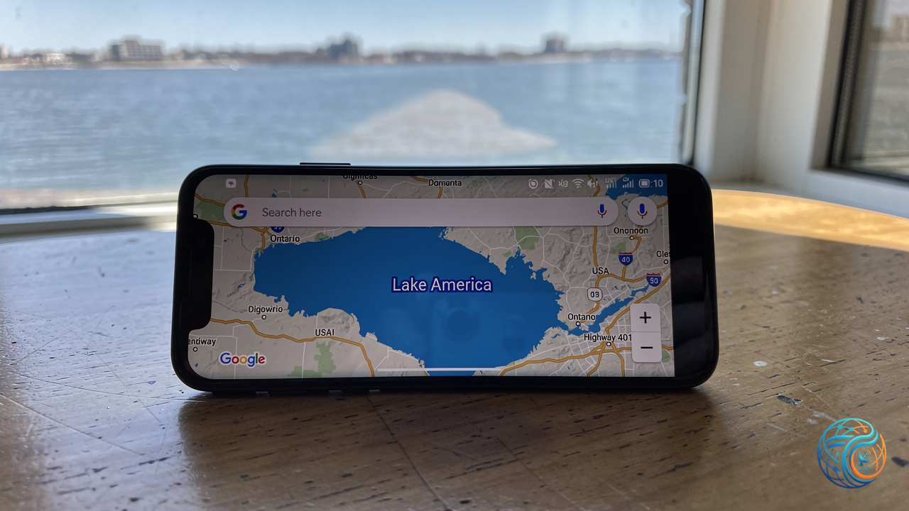
Geopolitical boundaries and digital cartography intersect as tech platforms manage localized naming conventions. Recent updates to Google Maps have introduced a localized modification to one of North America’s Great Lakes, altering how the body of water is labeled depending on the user’s geographic location.
Digital Cartography and Regional Labeling
The adjustment affects the representation of Lake Ontario for users accessing the mapping service within the United States. Rather than displaying the historic moniker uniformly, digital mapping systems now present distinct regional variations based on internet protocol positioning and local user settings.
Geographic information systems routinely adapt topographical labels to reflect domestic preferences, regional jurisdictions, or legislative requirements. However, alterations applied to major cross-border natural landmarks highlight the complexities inherent in global digital platforms attempting to satisfy differing national conventions.
Regional Variations Across Jurisdictions
The implementation of the updated labeling structure introduces distinct viewing experiences depending on where the user initiates the search query:
- United States: Users searching for the body of water on Google Maps see the label designate the feature as Lake America.
- Canada: The mapping platform preserves the traditional designation, displaying the body of water strictly as Lake Ontario.
- Global View: International users accessing the service from outside these specific jurisdictions are presented with a combined descriptor reading Lake Ontario (Lake America).
These divergent displays underscore how modern mapping algorithms handle localized data layers. By tailoring topographical text fields to match regional expectations, platforms navigate delicate international sensitivities while altering standard geographic nomenclature for domestic audiences.
Source: Original Article